Departing Chief Guacanagarí and the ruins of Navidad, in December 1493 Columbus’s fleet sailed back east along “Española’s” northern coast, searching for the optimal site to establish a permanent coastal base from which to launch the island’s invasion and conquest. He sought a location close to Española’s “gold mines,” which he believed lay in the island’s central interior. Practically, the site needed protected anchorage; an ample river to supply fresh water for the 1,200 voyagers and their livestock; sufficient grassland for the livestock; and woodland and stone appropriate for construction.
Given Navidad’s demise, prudence dictated that it also be defensible from “Indian” attack. At this time, Columbus had little understanding of the boundaries of the principal Taíno chiefdoms on the island. Chieftains monitored the fleet’s movement.
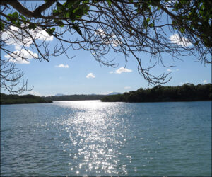
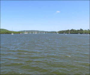
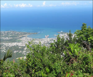
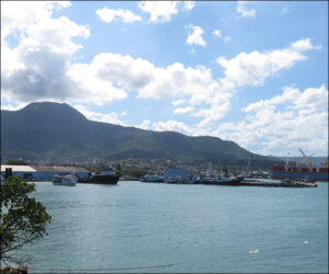
Columbus rejected the territory at Monte Christi’s bay for being too damp and was eager to reconnoiter two natural harbors farther east that he’d spotted during his first voyage. One was a perfectly encircled inlet with a river he’d named Río de Gracia, the other a natural harbor at the base of a towering peak he’d named Monte Plata. The first two photos are of the seaward and inner portion of the inlet, now the modern port of Luperón, Dominican Republic, and the third and fourth of the natural harbor and peak, the lovely Puerto Plata.


