Columbus, crew, and the ten Taínos aboard the Niña departed Portugal on March 13 and anchored two days later at Palos, Spain, the small port from which the Niña, Pinta, and Santa María had departed on August 3, 1492. Coincidentally, the Pinta returned to Palos the same day, a few hours later.
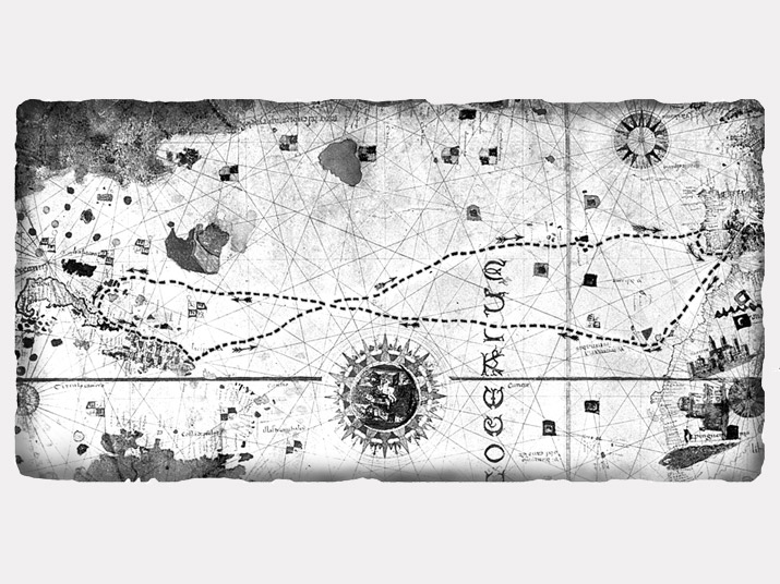
As contained in Encounters Unforeseen, the following is a portion of Juan de la Cosa’s world map of 1500 (in the collection of the Naval Museum, Madrid) marked for the approximate route of the voyage:

Historians disagree whether the Juan de la Cosa who drew the map was the same person who was the owner of, and served as Columbus’s first officer on, the Santa María (I suspect so).
Columbus’s Journal ends with his entry of March 15. He closes it by reminding Queen Isabella and King Ferdinand that the Lord miraculously allowed the voyage even though many of their household had said it was folly and indicating that he hoped it would be the greatest honor of Christendom that first appeared so unimportant.
